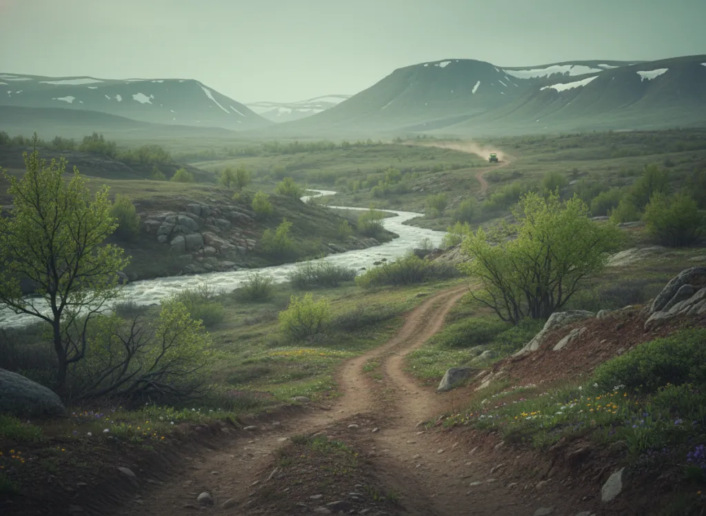
The Hiawatha National Forest encompasses 879,000 acres of the eastern Upper Peninsula of Michigan in Schoolcraft, Alger, Luce, Chippewa, Mackinac, and Delta counties, divided into two administrative units (eastern unit centered on Sault Ste. Marie, western unit centered on Munising) by the Pictured Rocks National Lakeshore on Lake Superior's south shore. The OHV trail system threads through both units on designated ORV routes, with the western unit's Au Train, Munising, and Manistique districts providing the primary riding terrain accessible from the Munising and Marquette markets. Munising, the gateway to Pictured Rocks, sits where the Lake Superior shoreline's multicolored sandstone cliffs, the painted bluffs that give the Lakeshore its name, meet the Hiawatha's interior mixed conifer and hardwood forest, and OHV riders can combine lakeshore scenic access with forest trail riding in the inland terrain above the Lake Superior coastal zone. The Hiawatha's forest cover is transitional between the boreal north and the northern hardwood forest to the south: sugar maple, yellow birch, and basswood on the better-drained till uplands; balsam fir, white spruce, and northern white cedar in the moist lowland stands and shoreline margins; and the aspen-birch pioneer communities on the logged and burned uplands that are the most common forest type on the eastern UP's sandy plains. The eastern unit near Sault Ste. Marie provides a second riding zone in the St. Marys River corridor country adjacent to the Canadian border, with access from I-75. Michigan ORV license required. Munising Ranger District (906-387-2512) manages western unit ORV trail status.
Hours
Accessible approximately May through November; routes close under snow. No day-use fee. Michigan ORV license required on designated routes.
Phone
906-387-2512Trip openings, seasonal updates, and the occasional deal, straight to your inbox.
FAQ
Everything you need to know before you get started.
Have a question, or ready to book? Reach out and we’ll get right back to you.